


WHAT WE DO
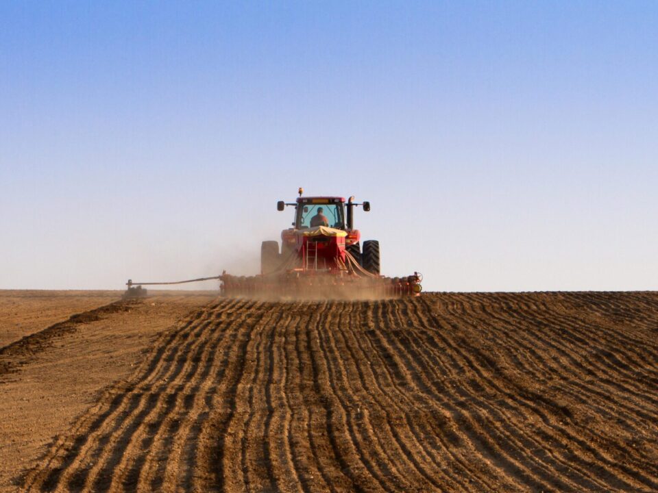
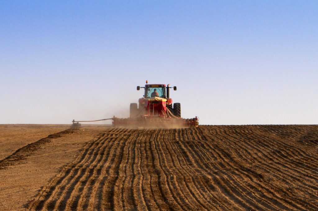
AGRONOMY
Luckey Farmers has four top of the line Agronomy Facilities located in Berkey, Bradner, Graytown and Ida. These agronomy hubs are fully equipped with state of the art technologies that allow us to offer a wide-variety of services and features.
- More than 25 Custom Applicator Units
- 24-Hour Bay
- Customizable Product Solutions
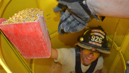
SEED
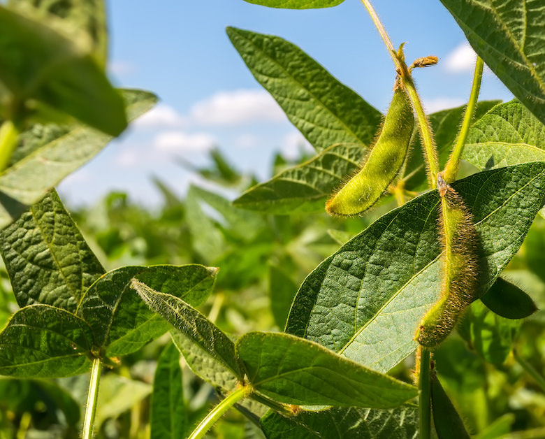
Luckey Farmers is proud to offer our very own seed brand, Gro-Mor, which consists of proven corn, soybean, wheat and alfalfa varieties. The Gro-Mor line has seed products for every farmer in the field with a wide range of maturities and traits.
- Locally Selected
- Quality Products
- Wide Variety of Traits
OTHER SERVICES WE PROVIDE


1919
ESTABLISHED
800+
MEMBERS
7
GRAIN FACILITIES
4
AGRONOMY CENTERS
Hedging Information
Grain Basis
The values shown are on a 10-minute delay while the market is open. Please call for a current price.
Market Trading Hours
- Monday – Friday: 9:30 a.m. to 2:15 p.m.
- Sunday – Thursday Night: 8 p.m. to 8:45 a.m.
*BIDS ARE SUBJECT TO CHANGE*